

It’s Wednesday, and I haven’t written a TrailTale in a while, but if it’s not your thing, Tech returns Friday.
This was motivation to refresh TheAmazingSpiderVan.com and I made adding new trips easier so I will catch up soon!
I thought Utah had the most National Parks, but no it’s California with nine and Pinnacles is the latest (Barack Obama, 2013), the smallest (27K acres), and home of The Majestic California Condor.
Even most Californians have never heard of Pinnacles. It’s the least known NP and ironically the one closest to the most people. If you’re one of the nearly 8 million people in the Bay Area you can get to Pinnacles in a couple of hours.
We stayed four days.
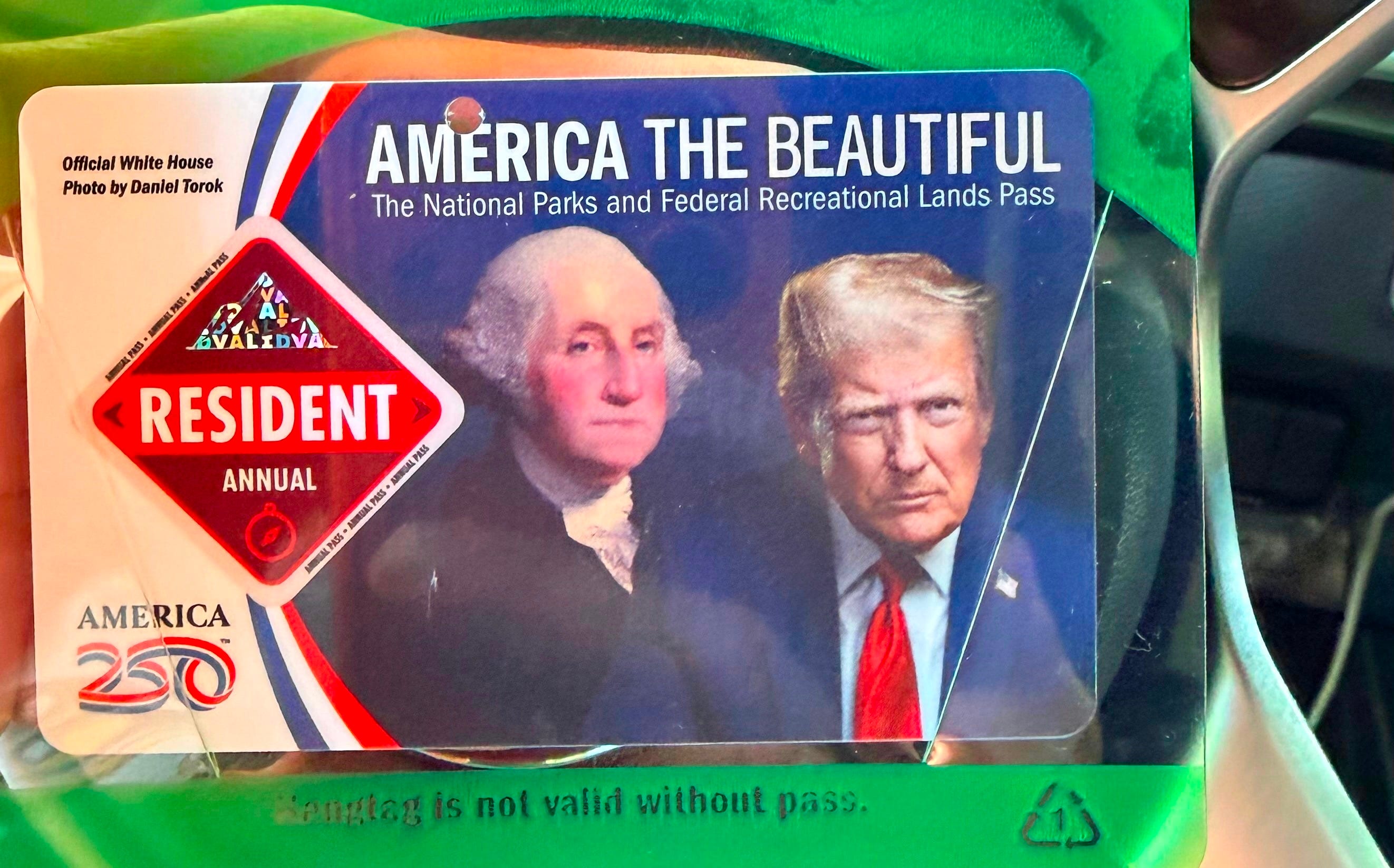
We got hit with this when we rolled up, but things got better.
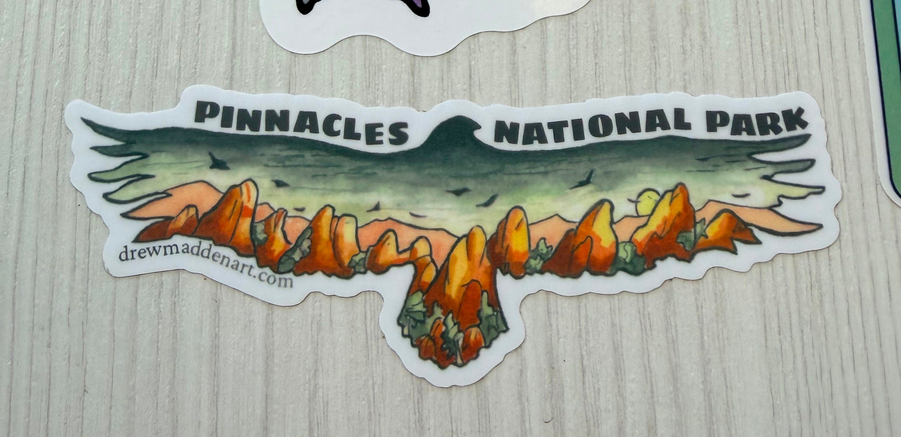
Pinnacles was super chill on a fall Monday. We checked in at the tiny visitor center and got a sticker at the equally tiny but well stocked general store.
Campsite 57 was a long ways down a winding and super narrow road, full of potholes and blind turns, climbing up and down like a roller coaster. The site I had picked was odd: deep and overgrown — so after wandering through the rest of the loop, we threw everything back in the van and dashed back to the store before it closed to swap it out for site 73.
Now we were all the way at the end of the loop, framed by massive live oaks with sunlight filtering in, up against hills dotted with baby deer zoomie hopping all over the place.
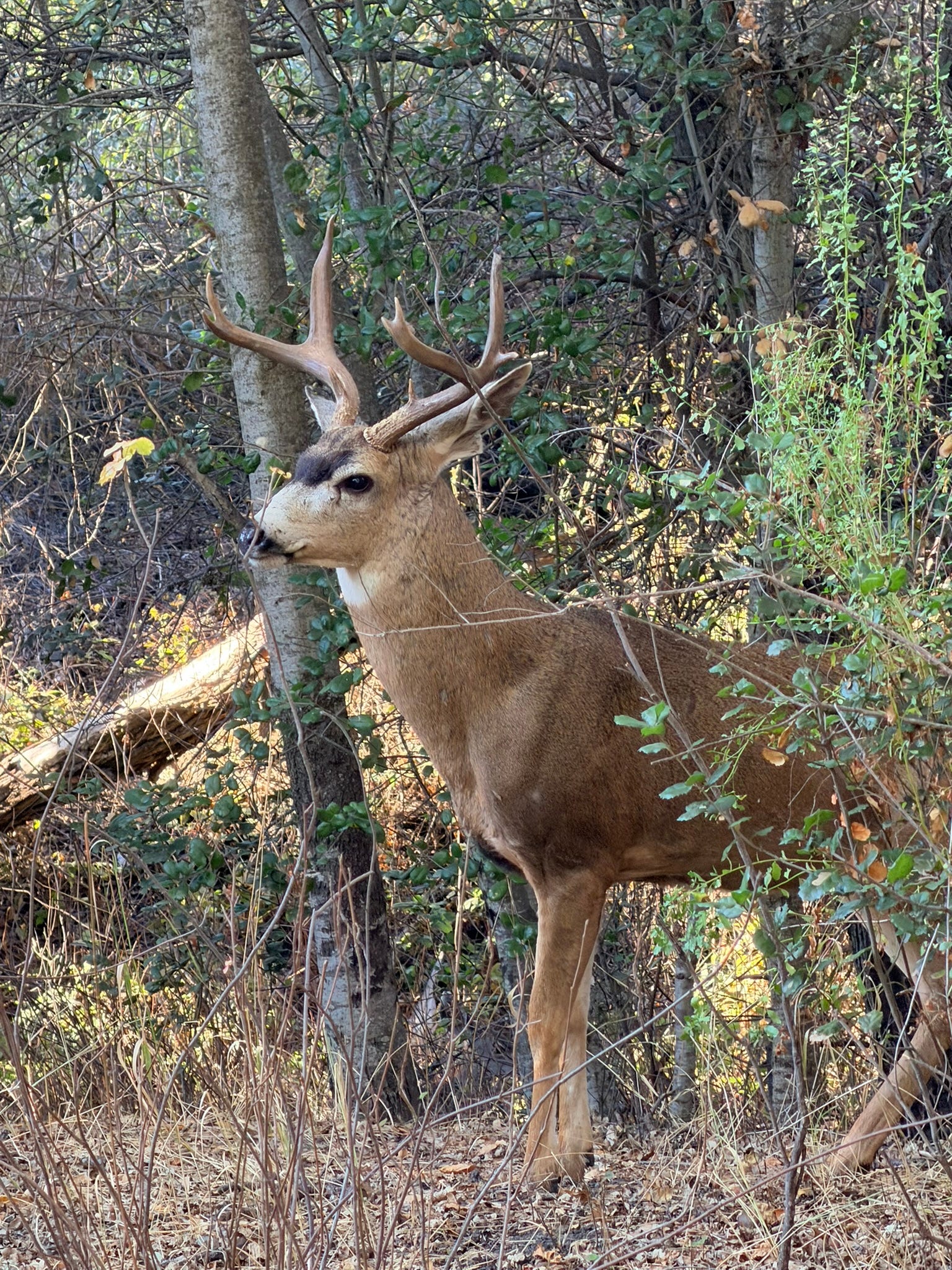
Other than the army of quail constantly patrolling the underbrush, we had no visible neighbors for the next three days.
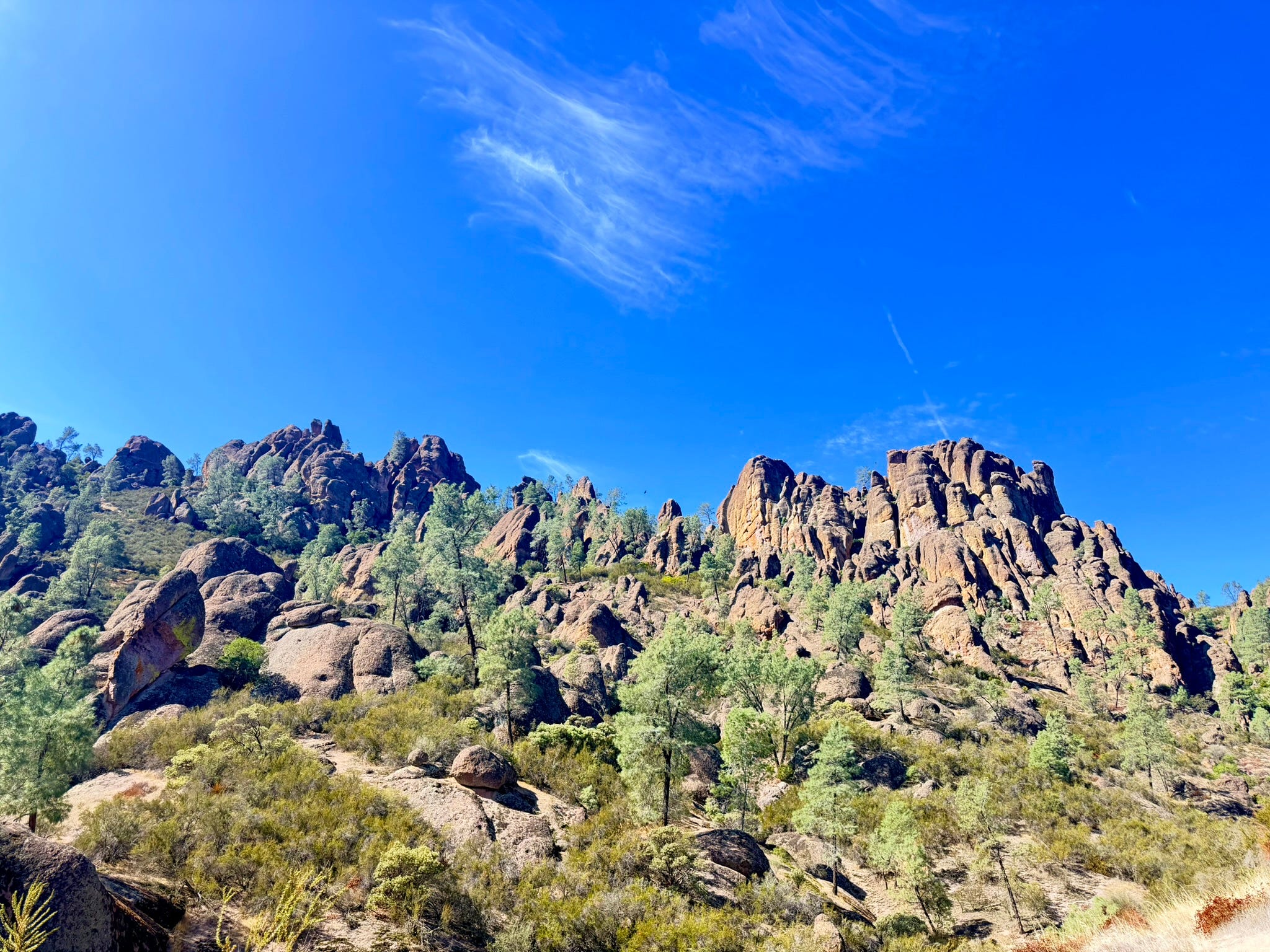
Tuesday we drove ten minutes to the trailhead where the east side road ends, and headed up to the High Peaks and the Condors. We did this same hike 4 years ago with the kids. While Rachel was prepared with a full backpack, we wandered off with a few tangerines and a bottle of water.
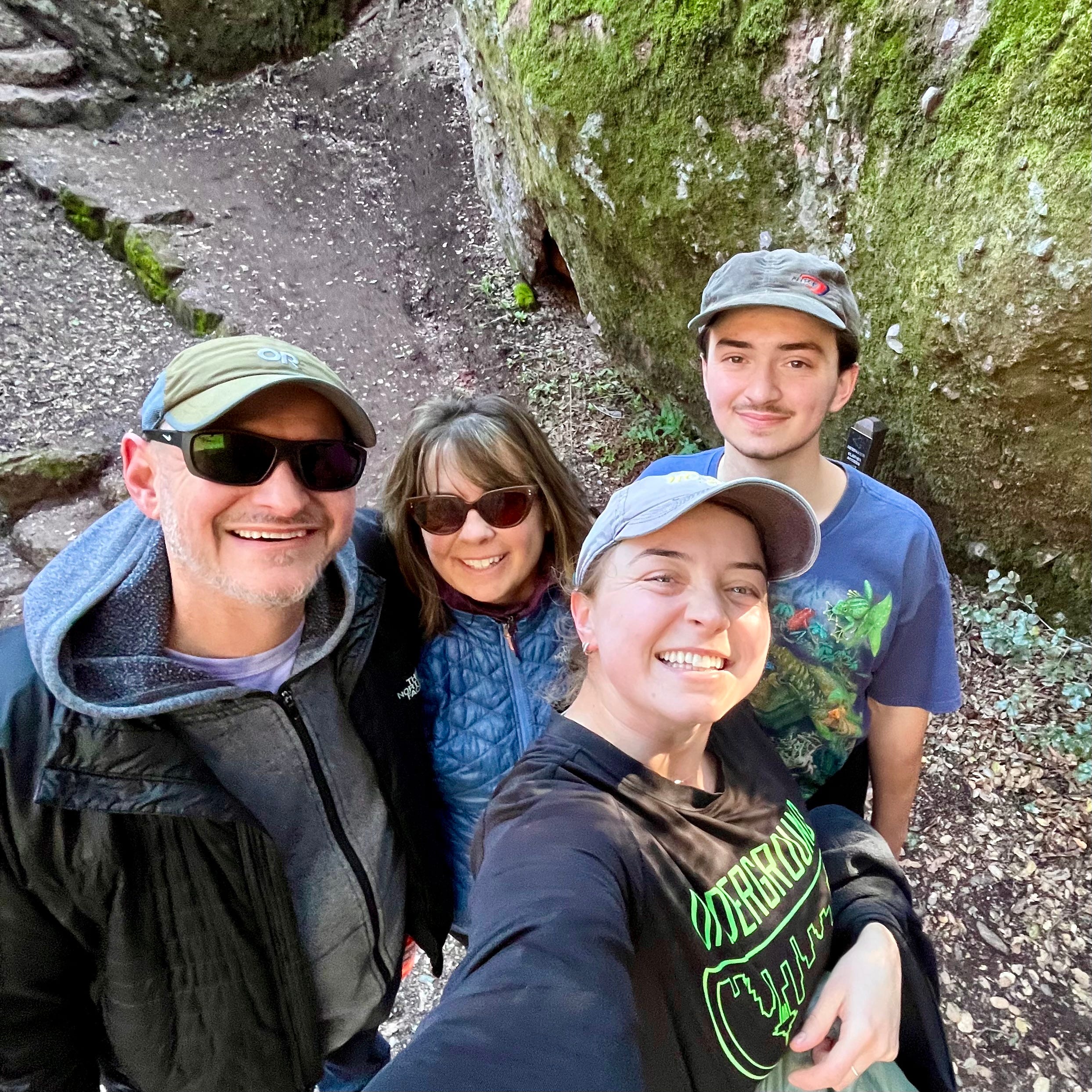
We didn’t plan on hiking all day, but as the splendor kept rolling on, so did we. We got hungry and thirsty at the end, and R kept us alive; she scolded us at our lack of preparedness.
This time we brought snacks and extra H2O.
It’s a fair bit of climbing with lots of switchbacks, and it gets a little technical at the top, weaving through the high peaks holding onto rails and climbing stairs carved into rocks that go straight up.
At the top you can see West to the other side of the park and more.


It got cold that night.
When I stumbled out at 5AM to navigate the bathroom by the full moon, it was 44 degrees — inside the van! The van is snuggly though, and when I got back we slept until 9AM before cranking the heat and huddling over steaming cups of coffee.
By the time we made it back to the trailhead — we wanted to check out the caves we had explored with the kids last time — it was packed. So we figured we’d just do a little ramble and take it easy. Driving back to the campsite, I took a left on the only other road: Old Pinnacles.
After a few miles, Old Pinnacles Road ended at a small, unimpressive trailhead where the primary feature was a beat-up porta-potty, but there was parking. It was dry and dusty, but there we were, so off we went.
It was unexpectedly great and a couple of miles turned into seven.
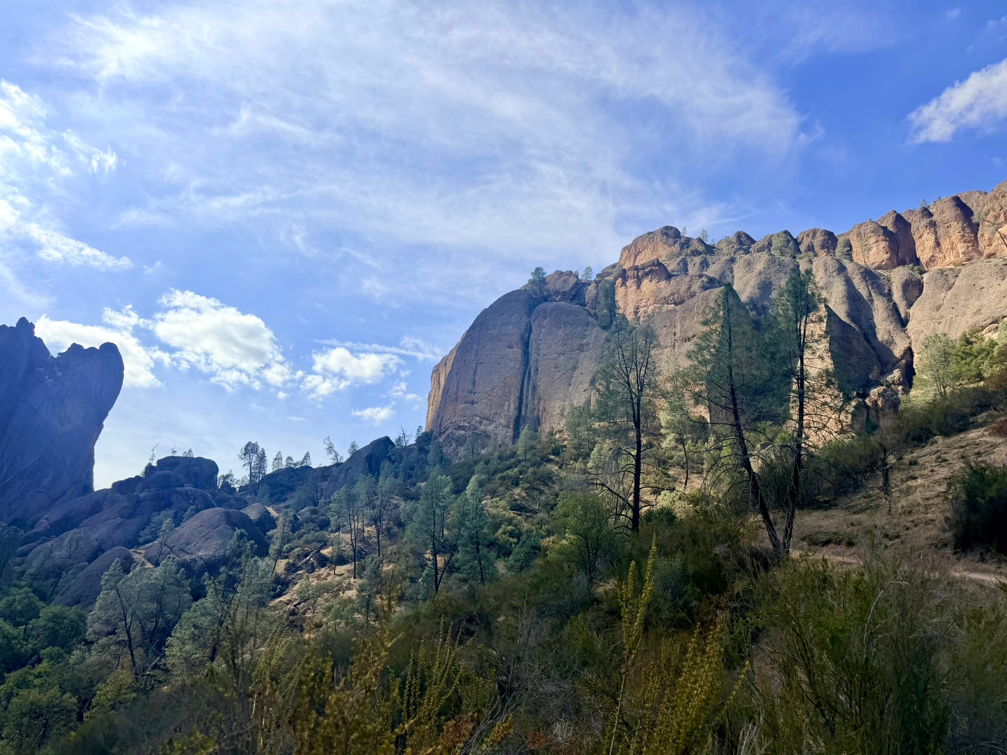
The Balconies Cliff Trail turned into the Balconies Cave Trail and either you went through the caves or turned back, so although we were again totally unprepared, (no flashlight, no headlamp), we made it through following the lights of kind strangers.


The next day we hit the trailhead early to explore the last set of caves. The caves in Pinnacles are talus caves — formed when massive boulders tumbled into the narrow canyons, versus volcanic caves like the ones we spelunked through last year.
Bear Gulch has two caves — lower and upper, and upper is usually closed because bats. But (unplanned) this was the one week of the year that both were open, so we found our headlamps, and aside from spooking a family of deer at the cave entrance, we had the whole place to ourselves.


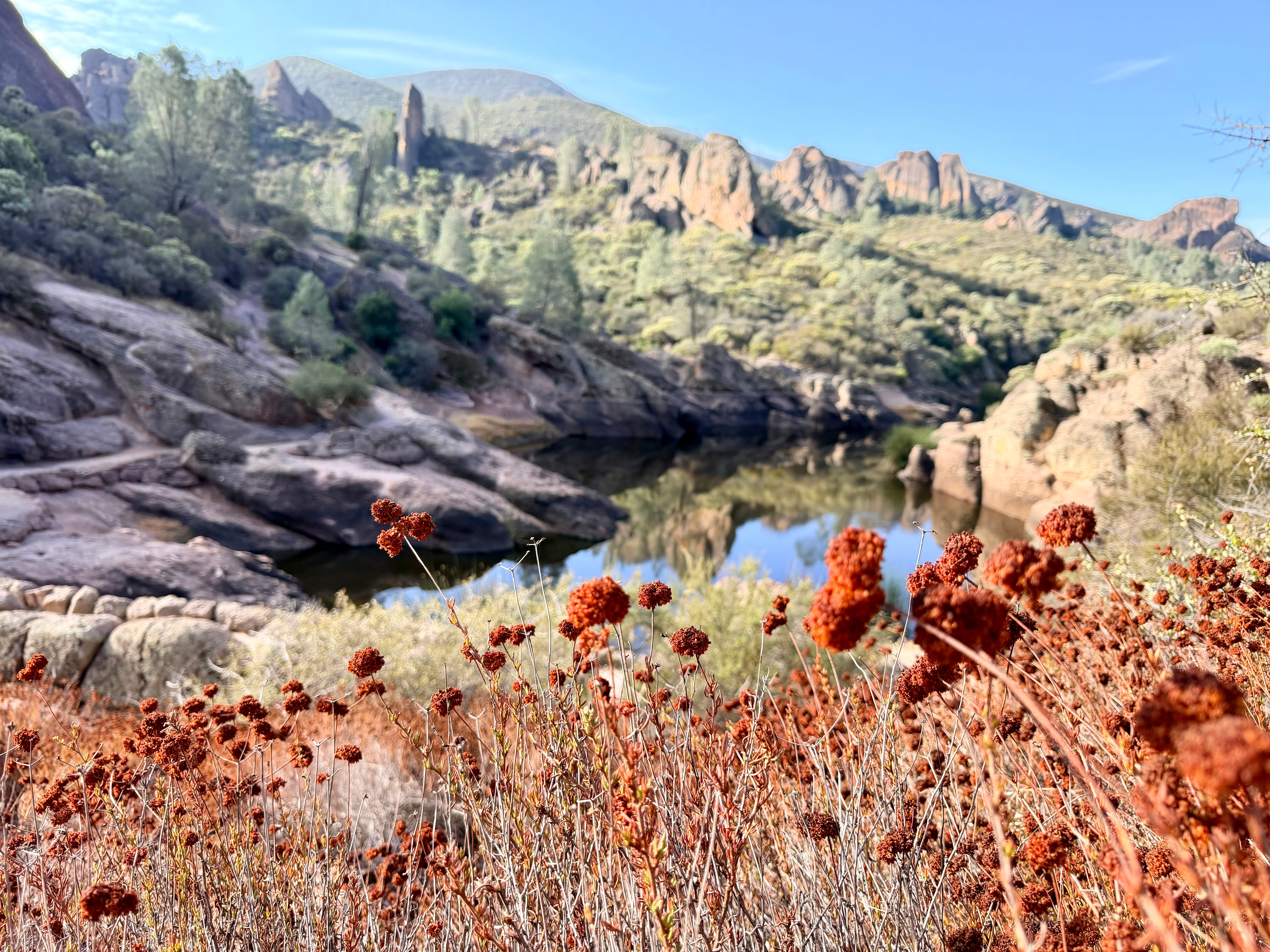
The stairs at the end of Upper Bear Gulch Cave led to Moses Spring Reservoir, and the sun was just coming over the ridge.
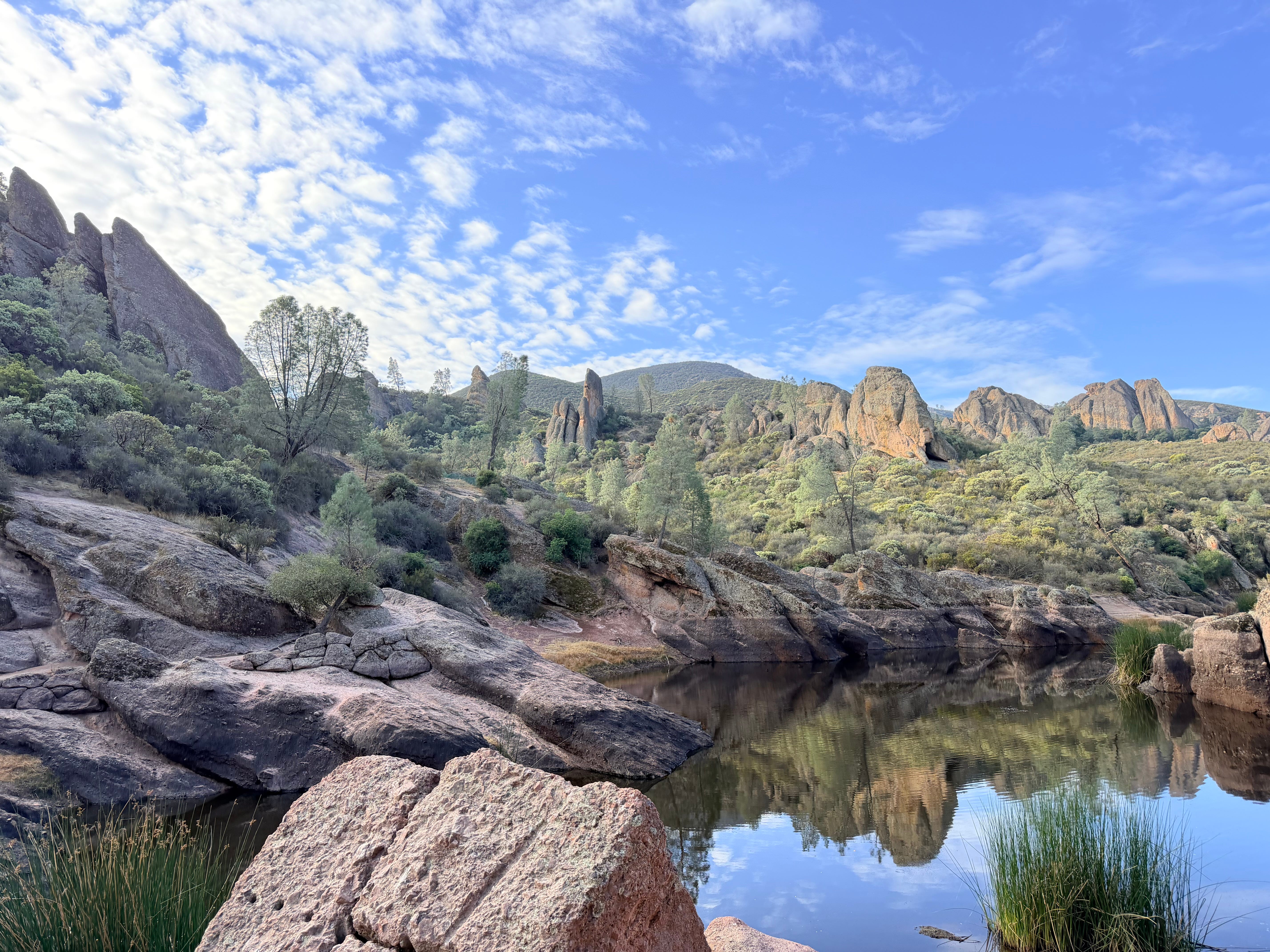
It was time to go — we had to get to San Jose to see the boy — but this view drew us up one last trail … for a bit.
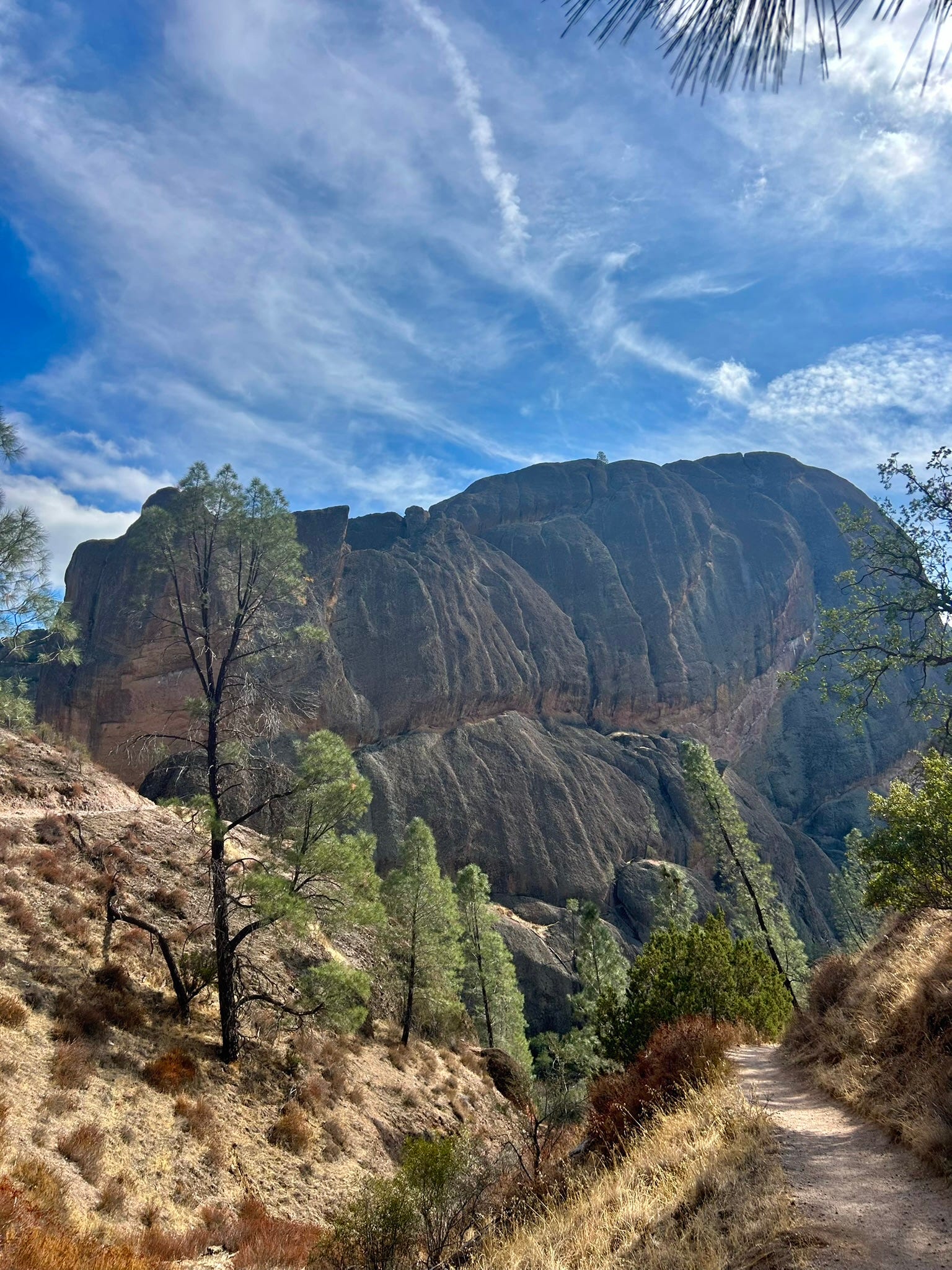
This trail goes to the highest point in the park — Chalone Peak — and it’s ten miles out-and-back.
We were tempted to keep going.
Next time we’ll be better prepared.