
Utah A-Z
TrailTale: No red rock left unturned

It’s Wednesday where once in a while I write up a Tale that has naught to do with Tech, so if that's not your thing please ignore; I’ve got something else for Friday.
It’s also my excuse to wish you a 🍗 H A P P Y T H A N K S G I V I N G !! 🍗
***
Think of Utah, and it’s either Mormons or Red Rocks. We went for the rocks.
Two weeks, our longest trip yet. It was glorious. Except for when it wasn’t.
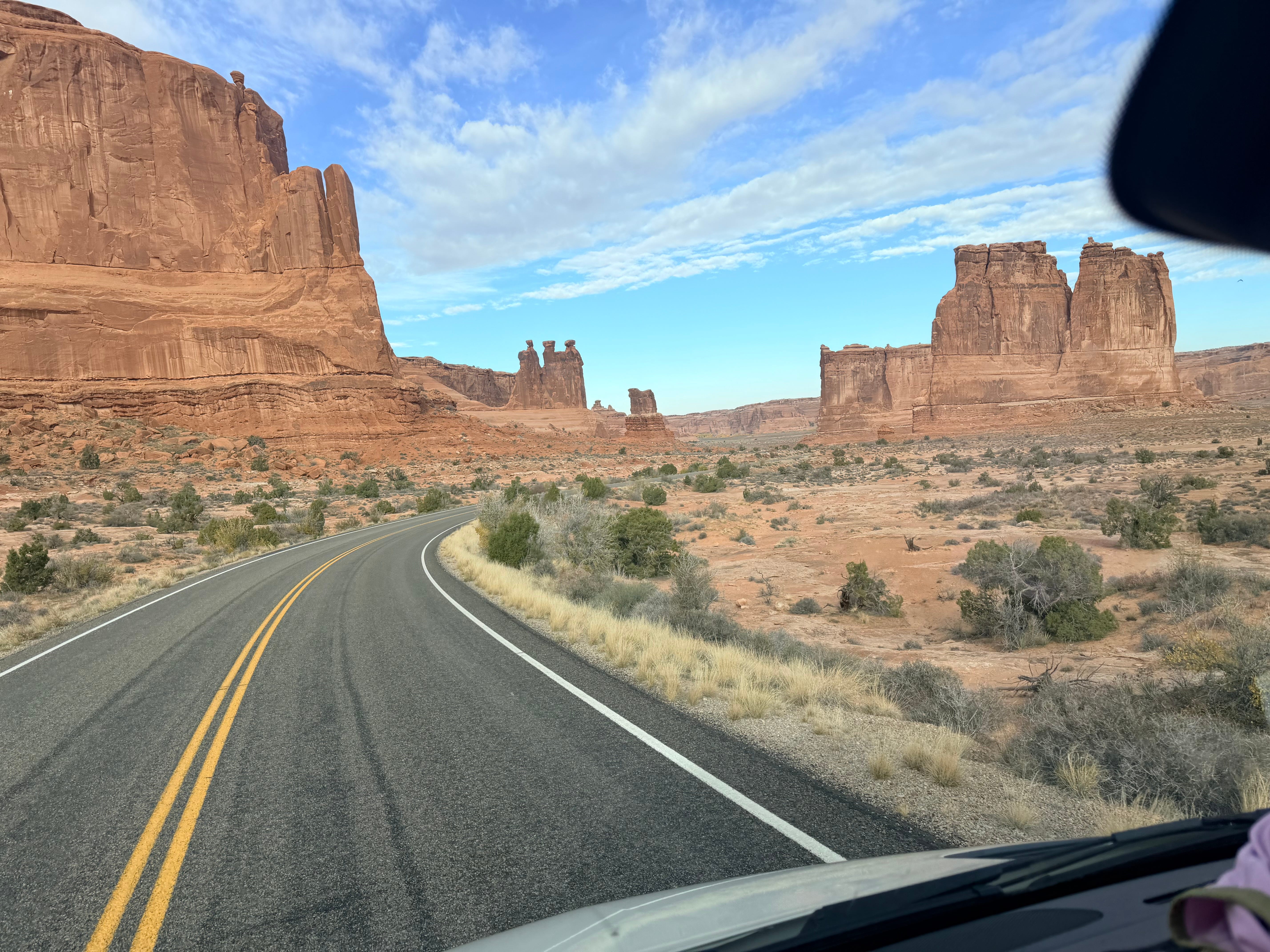
A is for Arches where we started, just outside a little town called Moab; Canyonlands National Park and Dead Horse State Park are close by. We camped in Devils Garden up at the tippity top of the park, a 30 winding minute drive through a constantly changing and surreal landscape of red rock formations:
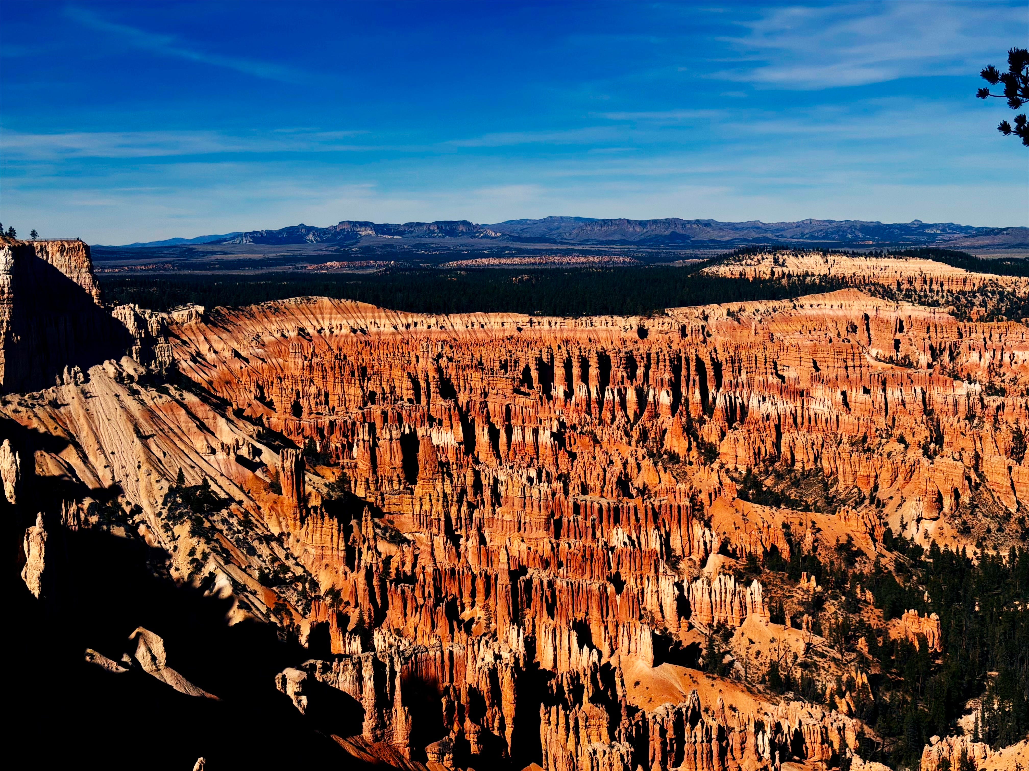
B is for Bryce, the park I didn’t think we’d get to. It’s clear on the other side of the state and at 9,000 feet I figured November weather would keep us away. But, the snow is slow this year, and we made it to see the Amphitheater:
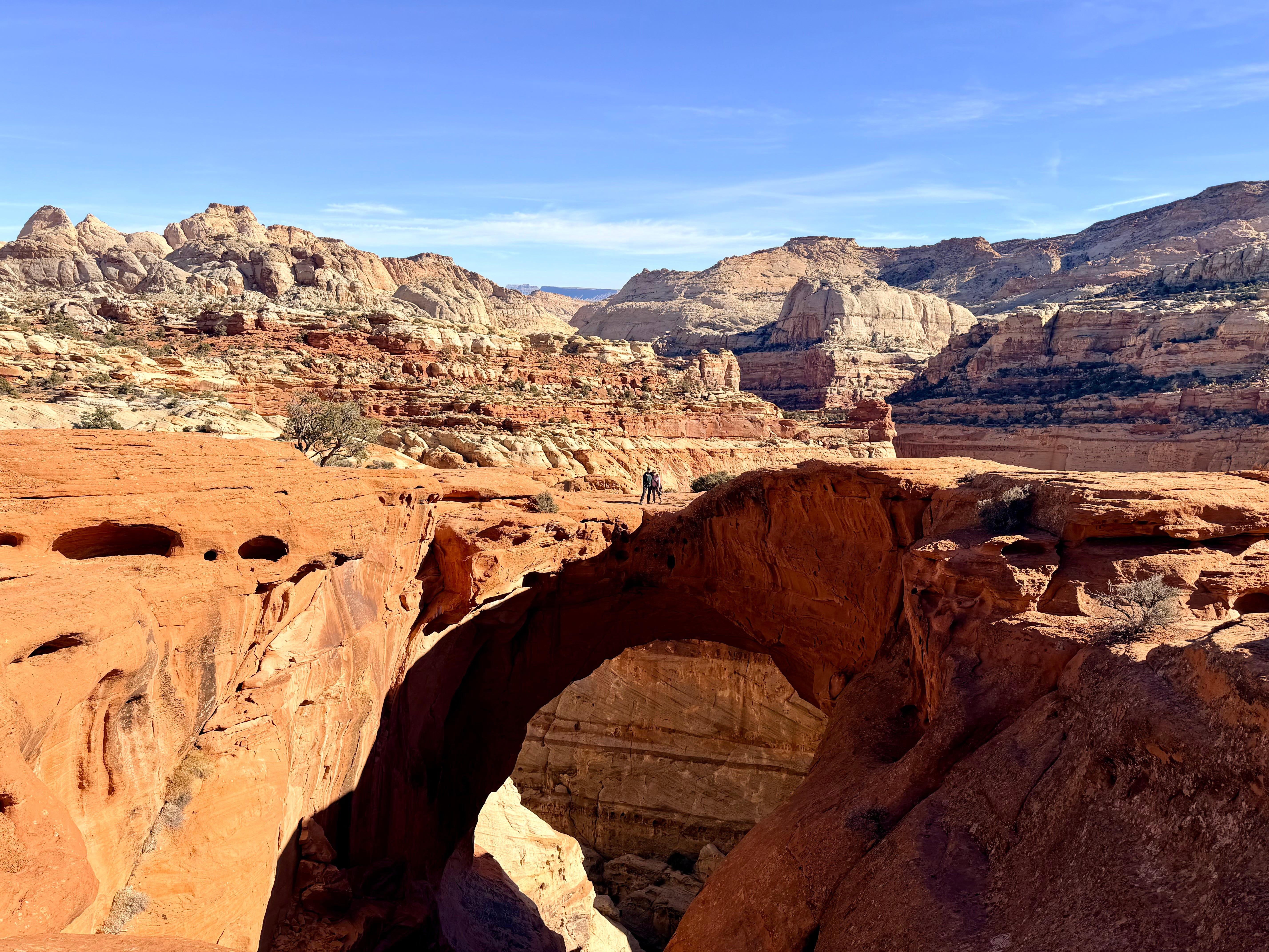
C is for Capitol Reef1, and also chill for the mellowest NP in the middle of UT, camping under cottonwoods, surrounded by fruit orchards.2 Also for Cassidy Arch, where we could stand on top, but it was scary:
D is for Dead Horse SP, which kind of sucked3 — possibly because we’d already walked several hundred miles through neighboring Canyonlands NP and were cooked. Also, it’s got this awful origin story of cowboys rounding up wild horses to die, so blech.
E is for Escalante, a surprise middle-of-nowhere town with good coffee and better pizza.
F is for the Fiery Furnace, a sandstone maze escape room of sprawling fins and narrow corridors. Roll your own hike and we couldn’t even manage to follow the ranger’s advice and go counter-clockwise, resulting in a jiggy route of backtracking and scrambling.
G is for Goblin Valley, where we rolled in as locals were crossing the finish line of a marathon guarded by a gesticulating goblin mascot.
Nature takes just a few million years to make these goblins:
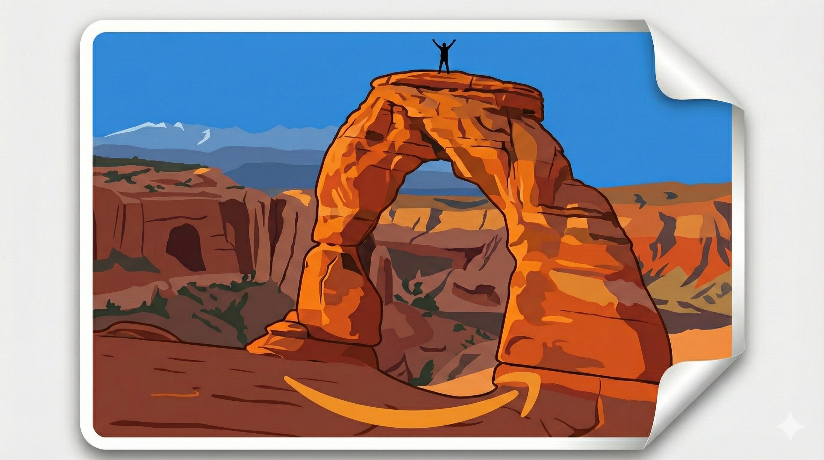
H is for hidden arch, one of a bunch4 we found in Arches. Here’s Pine Tree, the chunkiest arch:
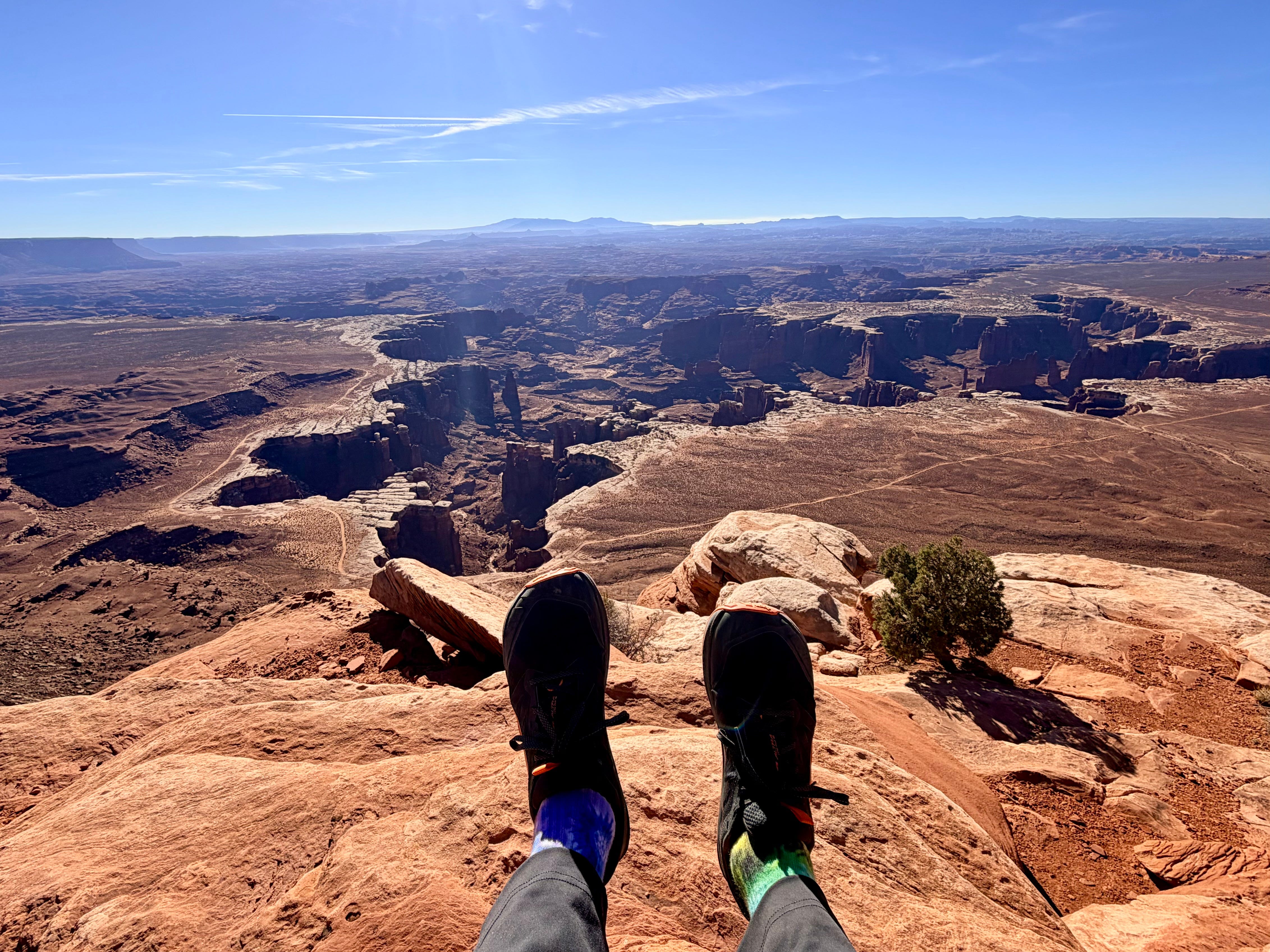
I is for Island in the Sky, one of four districts in massive Canyonlands NP:
J is for the joy of no chains. Going this late in the year was intentional — cool temps, less peeps — but I knew one early storm would screw it all up. It did not.
K is for Ken’s Lake, my backup BLM5 site in case Devils Garden was full. After driving three days to get there, the kiosk at the park’s entrance bore the ominous CAMPGROUND FULL sign. They were unstaffed because of the government shutdown, so, crossing all our fingers and all our toes, we rolled on ending up with a great spot and the nicest campground host.
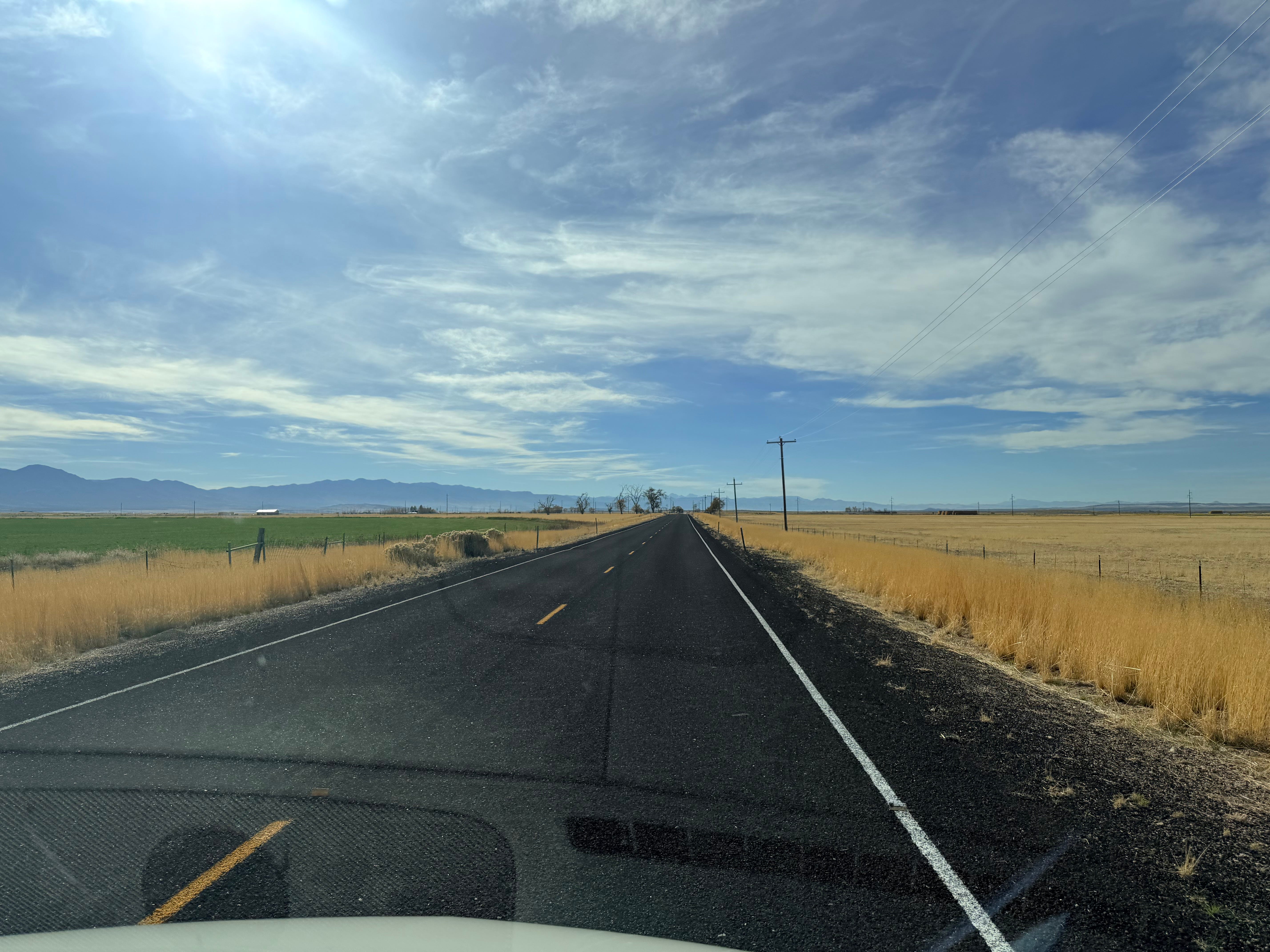
L is for US-50, the Loneliest Road, that took us through Nevada and most of Utah. Thank god for podcasts.
M is for Moab with more Sprinter vans than people where the burgers are meh. N is for the Narrows — Zion’s iconic hike through a river up a canyon that we couldn’t fit in and will be going back for. O is for ALL the overlooks.
P is for peach pie (a la mode!) at Capitol Reef’s Fruita campground. We snagged the last one and ate it at a picnic table in the orchard with locals.
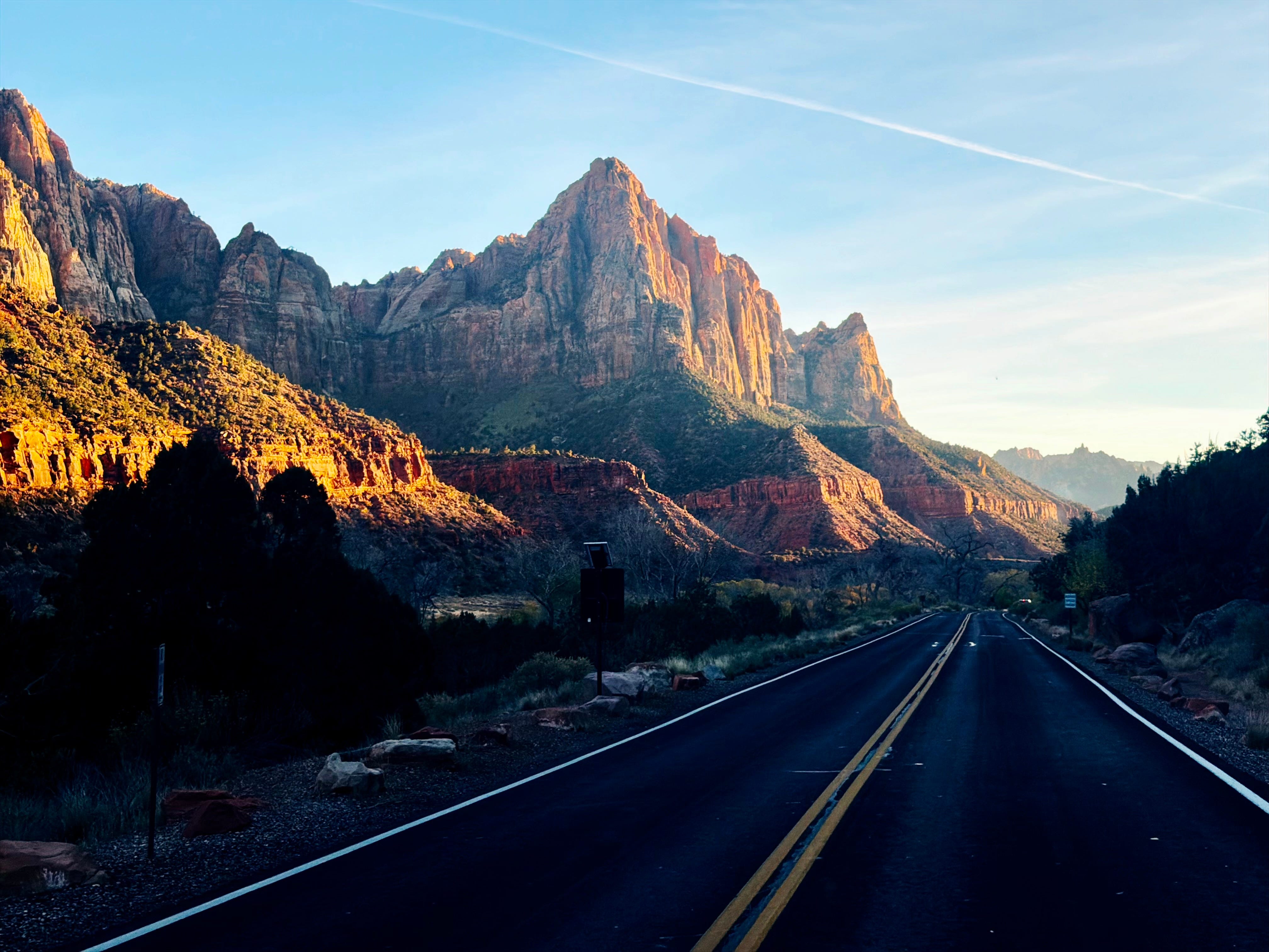
Q is for the quartzite cliffs of Zion; our last stop after we figured we’d seen every red rock, but no:
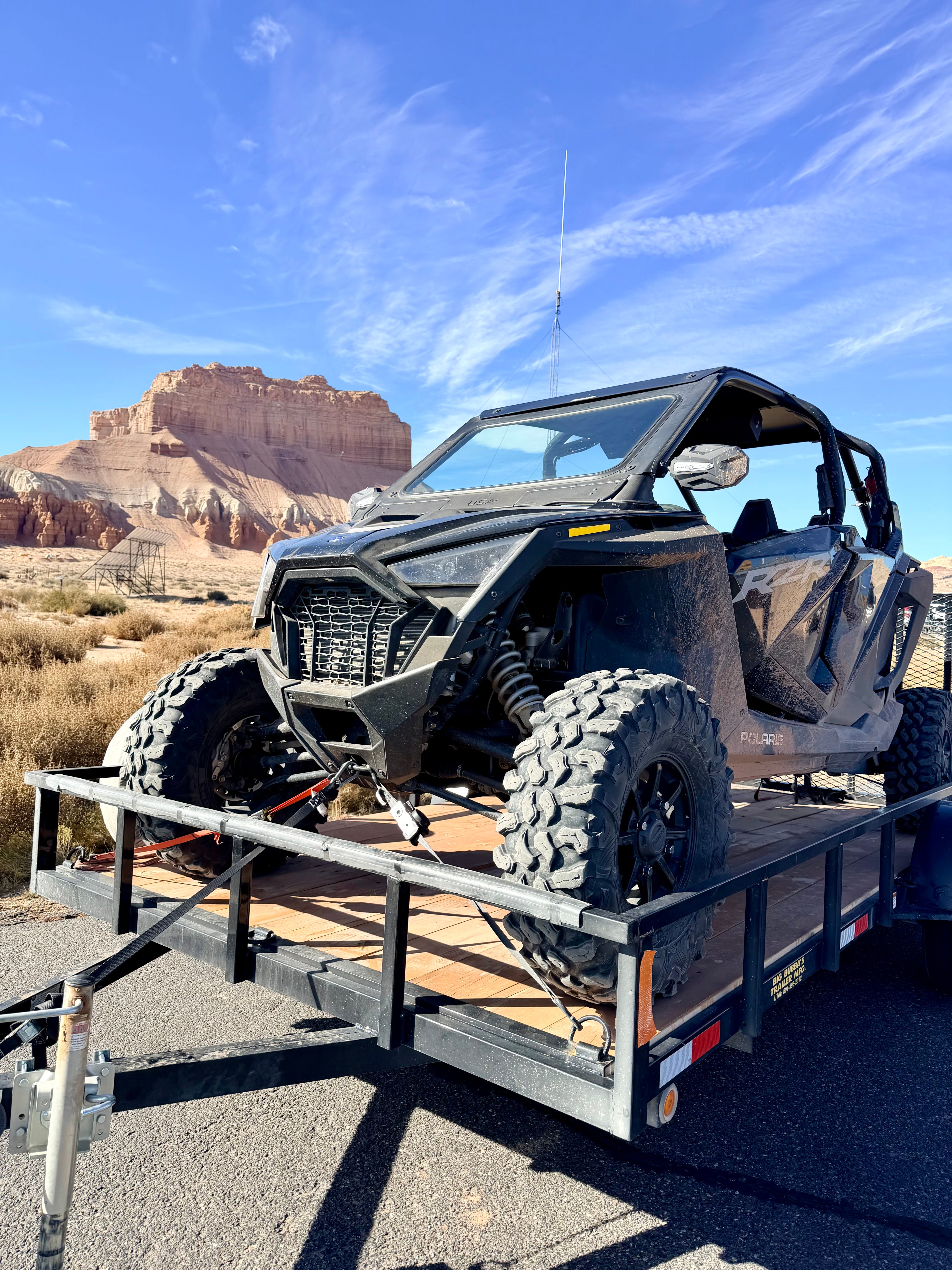
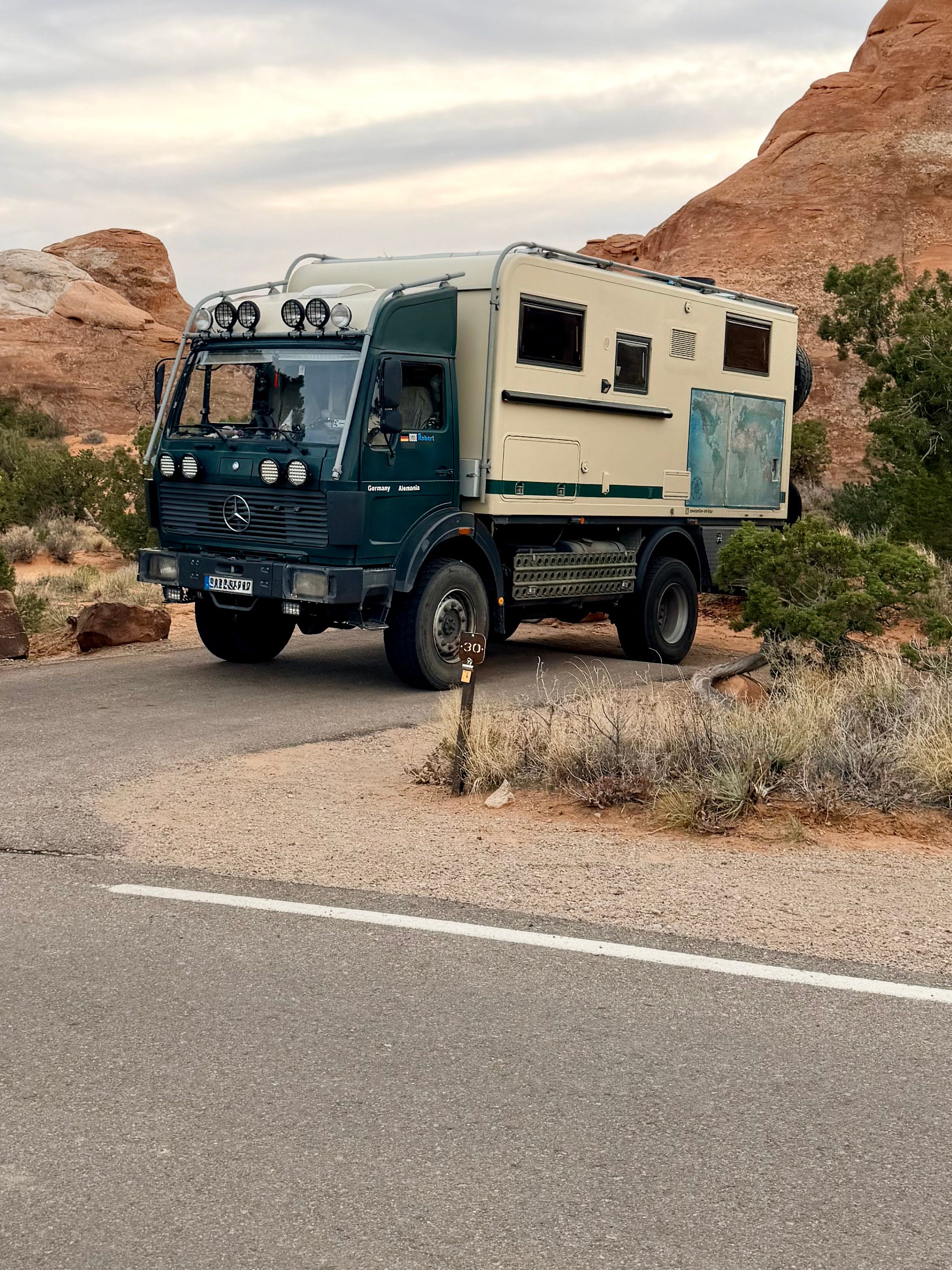
R is for route switchbacks, where 4x4s and mountain bikes drop down into canyons, across 100 mile over-landing trails. While I could maybe see doing it on a bike (dragging a case of water behind me), this is the only way I’d drive it:
S is for Springdale, the cute little gateway town outside of Zion where hikers decked out in waders and walking sticks gather before making the pilgrimage into the park; a gaggle of granola-garbage-man groupies bumping to board the buses to navigate the Narrows.
T is for the mile long, pitch black tunnel in Zion I did not expect, where I freaked-out wondering if the ASV was too tall while fumbling for the headlights.
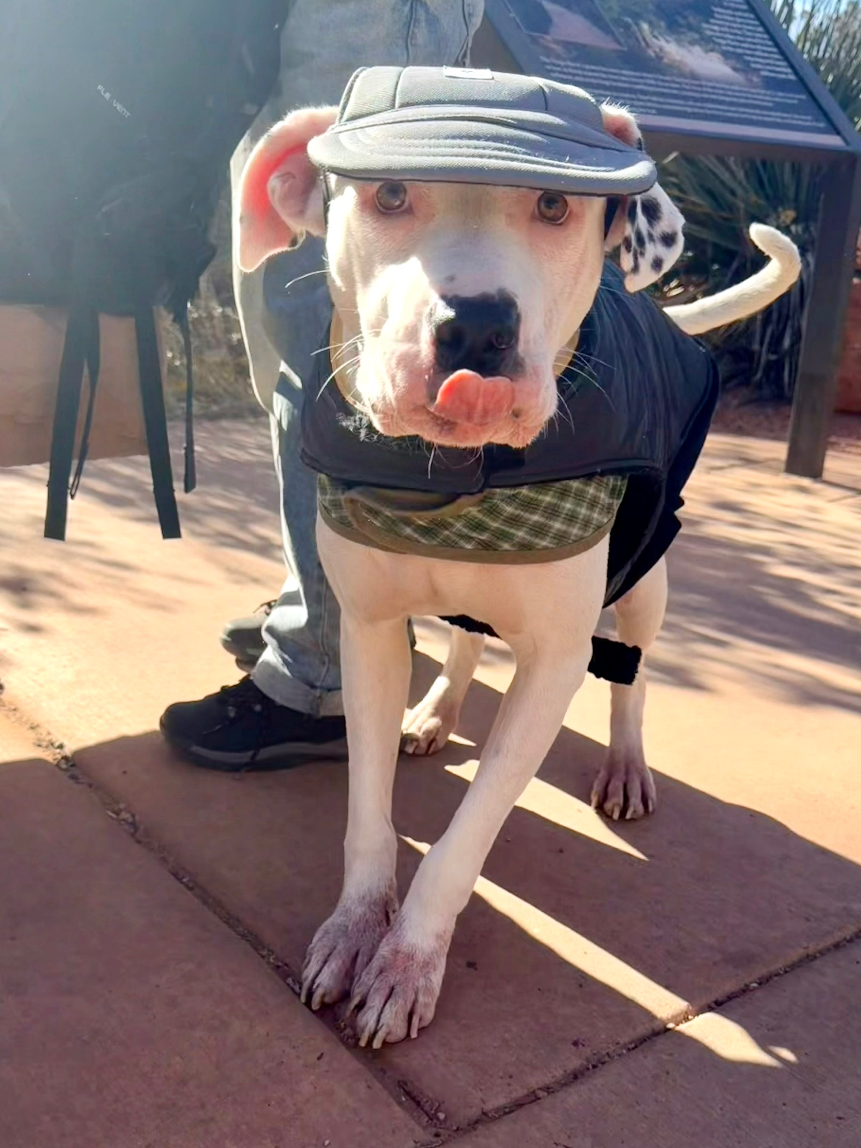
Or better, for this distinguished trail Dalmatian:
U is for Utah’s Route 12, a glorious road from Capitol Reef to Bryce scott free of snow. V is for Vegas where we stayed on the edge of town at the ‘Official Raiders Team Hotel’ with a parking lot bigger than the casino, packed with off-road vehicles caked in mud. W is for Watchman campground, where we spent our last night in Zion. X is for the x-tra special six hour dust storm that grounded us in beautiful Bakersfield for a night.
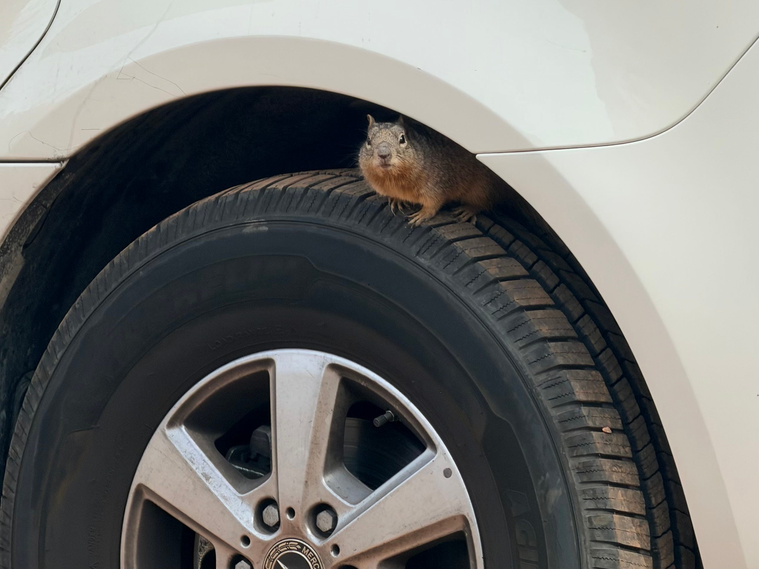
Y is for yikes what the hell is that:
Z is for Zion and that’s the end.
We said goodbye to our little squirrel friend.
What’s with this name? “Capitol” because the highest rock formations are rounded like the US Capitol building, and “Reef” because apparently that’s what you called an impassable landform back in the day of horses and wagons.
Mormon homesteaders in the 1800s planted them.
Sorry Yuka.
We saw: Skull, Skyline, Landscape, Tunnel, Hidden, Broken, Pine Tree, Delicate. Delicate Arch is the one adorning all the stickers.
Bureau of Land Management allows dispersed camping (drive in, park wherever) with no services and little regulation. Ken’s Lake is on BLM land which would have been an hour+ backtracking out of the park into the desert.